
Using Local Monitoring Results to Inform the Chesapeake Bay Program’s Watershed Model
March 7, 2023 - March 8, 2023Fairfax, VA
This workshop convened in-person on Tuesday and Wednesday, March 7th and 8th at the Northern Virginia Regional Commission (NVRC) in Fairfax, VA.
Workshop Save the Date: Local Monitoring Save the Date
The Scientific and Technical Advisory Committee (STAC) hosted a two-day workshop to bring together CBP modelers, local government stakeholders, and scientists who are monitoring and analyzing local water quality data to recommend ways in which local monitoring data can be used to inform the CBWM, identify gaps between modeled and monitored data, and be used to validate model predictions at the local scale.
The Chesapeake Bay Program’s Watershed Model (CBWM) has been used successfully to establish and track Best Management Practice (BMP) implementation and as a accounting tool for the Chesapeake Bay Total Maximum Daily Load (TMDL). Significant investments have been made by local governments and other local stakeholders who are interested in validating loads and progress in the TMDL through local monitoring data collected over the past 5-10 years. However, the data and the CBWM are not directly comparable due to differences in temporal and spatial scales and sometimes the water quality parameters being estimated or measured.
The current Phase 6 version of the CBWM was created by CBP Partnership and is used to inform management decisions by trading off various scenarios or factors that affect the delivery of nutrients and sediment to the tidal Chesapeake. In a typical year, hundreds of scenarios are run on the CBWM at different spatial scales and levels of management. These runs are used to develop watershed implementation plans, to develop 2-year implementation goals known as Milestones, to assess progress toward these goals, and for many other research and assessment efforts. The CBWM is not a scientific model whose main purpose is to understand the complex dynamics of sediment and nutrient loading in the Bay watershed. Rather, it uses understanding generated by the large volume of available research and research-oriented models to create a system that can most effectively evaluate management tradeoffs. The CBWM uses a simplified structure with parameters that are well-supported by multiple lines of evidence to avoid problems with over-parameterization and over-calibration.
Confidence in the output of the CBWM is critical because of its role as the accounting mechanism for measuring progress toward the Bay TMDL’s nutrient and sediment reduction goals. Those who are being asked or required to pay for these reductions, from state and local government managers to farmers and other individuals, must believe in the CBWM’s loading estimates or trust in the restoration effort will dissipate. Towards that end, several local entities have invested in extensive monitoring programs to characterize nutrient and sediment loading (among other water quality parameters) at a relatively fine scale (from a few acres to 5 square miles).
The workshop aimed to enable the local watershed managers and data scientists who have developed this data to share their insights with the Bay Program’s modeling team. Presentations included comparisons of the model prediction and monitoring estimates for selected watersheds and water quality parameters. It provided the modelers with input data to assess and potentially improve the accuracy of the model at these smaller scales and provided the local monitoring managers with information about how well their data collection efforts are characterizing the inputs that can be used to inform the model.
STAC Local Monitoring Workshop Agenda
Relevant Materials:
Chesapeake Assessment and Scenario Tool (CAST) Version 2019:
- CAST Phase 6 Model documentation general page
- Section 1: Overview
- Section 2: Average Loads
- Section 4: Sensitivities to inputs
- Karl Berger, Metropolitan Washington Council of Governments; co-chair, Land Use Workgroup
- K. C. Filippino, Hampton Roads Planning District Commission, co-chair, Land Use Workgroup
- Normand Goulet, Northern Virginia Regional Commission; chair, Urban Stormwater Workgroup
- John Jastram, U.S. Geological Survey, Virginia and West Virginia Water Science Center
- Douglas Moyer, U.S. Geological Survey, Virginia and West Virginia Water Science Center
- Greg Noe, U.S. Geological Survey, Florence Bascom Geoscience Center (STAC member)
- Aaron Porter, U.S. Geological Survey, Virginia and West Virginia Water Science Center
- Gary Shenk, U.S. Geological Survey, CBP Modeling Team
- Watershed Model Framework: What Knowledge is Needed– Gary Shenk (USGS)
- Chesapeake Bay Program Showcase Watersheds – Jimmy Webber (USGS)
- Hampton Roads – Aaron Porter (USGS)
- Fairfax – Aaron Porter (USGS), Jimmy Webber (USGS)
- Gwynns Falls – Jon Duncan (Penn State), Claire Welty (UMBC)
- Mahantango Creek – Tony Buda (USDA ARS)
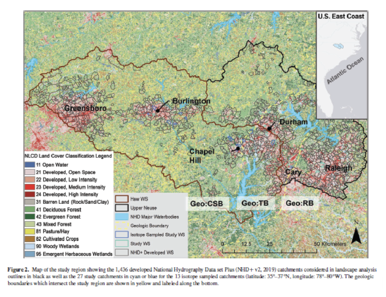
- NC Piedmont Nutrient Study – Joseph Delesantro (Penn State), Jon Duncan (Penn State)
- Atlanta-Area Piedmont Watersheds – Brent Aulenbach (USGS)
- Atlanta Urban Studies Bibliography. For Chesapeake Bay Program STAC Local Monitoring workshop, March 2023. Indented references are data releases associated with prior listed report 2/15/2023 (Brent Aulenbach, btaulenb@usgs.gov).
- Watershed Model Framework: What Knowledge is Needed
Presented by Gary Shenk (USGS)
- Chesapeake Bay Program Showcase Watersheds
Presented by Jimmy Webber (USGS)
- Hampton Roads
Presented by Aaron Porter (USGS)
- Fairfax
Presented by Aaron Porter (USGS) and Jimmy Webber (USGS)
- Gwynns Falls
Presented by Jon Duncan (Penn State) and Claire Welty (UMBC)
- Mahantango Creek
Presented by Tony Buda (USDA ARS)
- NC Piedmont Nutrient Study
Presented by Joseph Delesantro (Penn State) and Jon Duncan (Penn State)
- Atlanta-Area Piedmont Watersheds
Presented by Brent Aulenbach (USGS)
Workshop Report
For more information, please contact Meg Cole, STAC Coordinator, at colem@chesapeake.org.